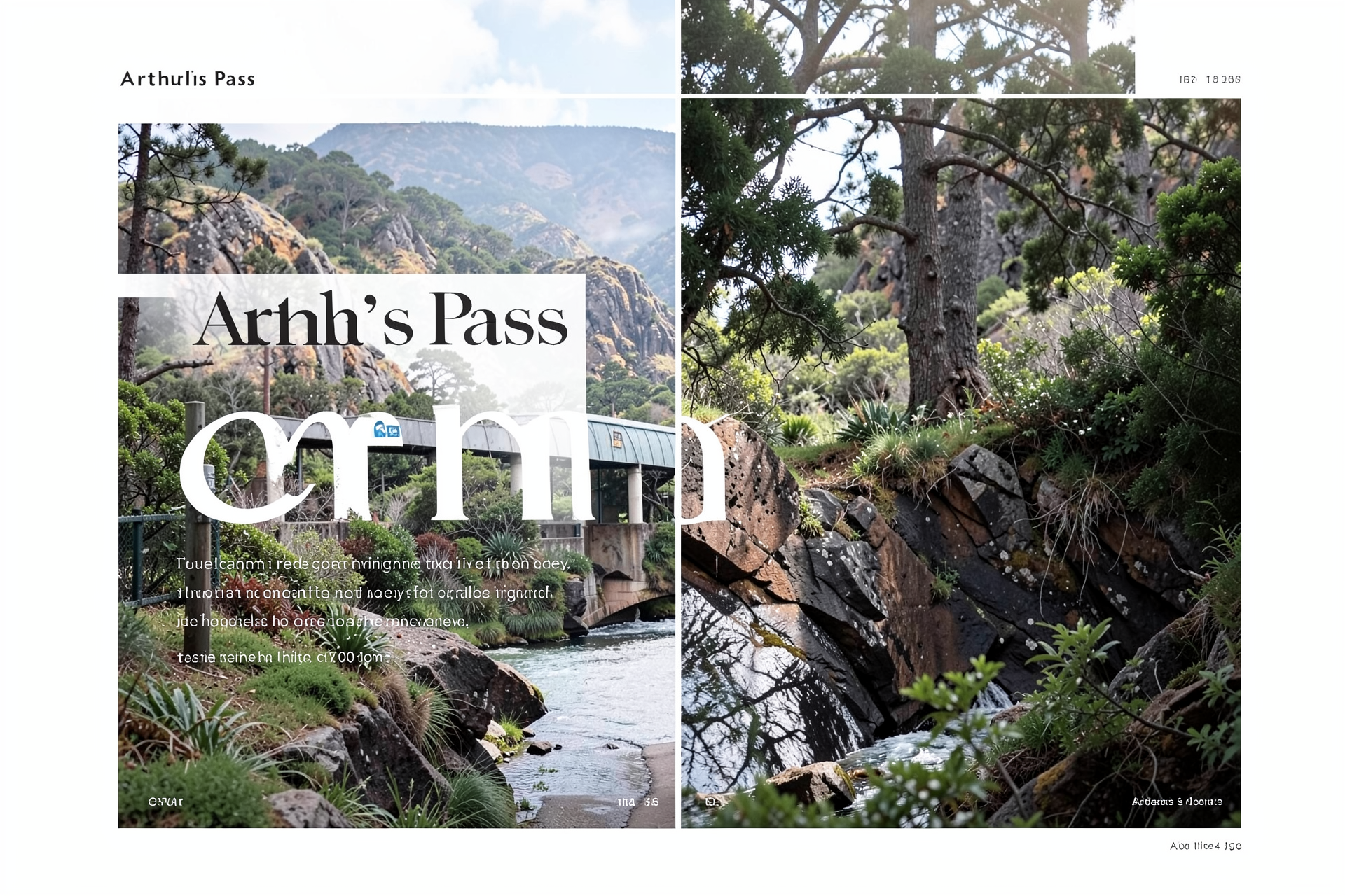
Arthur's Pass - Mountaineering
Red Cross Warning

 Sorry no menu .. JavaScript must be enabled to see normal menu - go to base of page to view link options


Home

WEATHER
WARNINGS


A HEAVY RAIN & GALEFORCE WIND WATCH is current for areas about and west of the Main Divide commencing late Monday (10/10/2011) through to Tuesday (11/10/2011).
Notes: Heavy Rain Warnings are issued if a storm might deliver in excess of 100mm of rain within 24hrs (or 50mm in 6hrs), please be aware rivers in Arthur's Pass will flood given only 20-30mm of rainfall.
Galeforce Wind Warnings are issued if a storm intensity may exceed 90km/h winds at 800m ASL.
A Watch is displayed if a storm's intensity prediction hits a "Moderate" level of forecasters confidence.
Click Here for more detail storm analysis.

Webcams
North Webcam
North Webcam Feed

West Webcam
West Webcam Feed

ALL Webcams - Click Here
A.P. Webcam Archive - Click Here

Weather Outlook
Monday 10/10/11
Increasing clouds and cooler. Precipitation (snow?) possible within 6 hrs Windy with possible wind shift to the W NW or N.
Forecast Links
Arthur's Pass Forecast (2 day)
Canterbury High Country (5 day)
SEVERE WEATHER ALERTS
Severe Weather Outlook
WeatherCity Forecast (AP 7 Day)
Weather Underground (Hokitika)
NZ METVUW SI CHARTS

Moonrise 18:09hrs
Moonset 4:57hrs
Sunrise 5:53hrs
Sunset 18:53hrs
(All times NZST)

Click for full satellite images
General Conditions & Avalanche Risk
Monday 10/10/2011: Another morning freeze; fine weather expected until mid-PM then rain & gales developing.

Spring-like snow conditions have evolved - considerable snow loadings on southern aspects (some avalanche start-zones are at threshold), and most snow-pack has become isothermal that will lead to wet snow avalanche events occuring - moreso as Spring rainfalls encroach to higher altitudes. Snow-pack at higher altitudes generally increases in depth in Spring.

Climbing conditions continually changing. Rain, snow and poor freeze/thaw cycles make the snowpack very reactive to daily conditions; ie. surface stability varies greatly during period of day -
  • Avalanche season is upon us; the general snowpack is isothermic & contains historical slab weaknesses; dig & understand what your "quick-pits" are telling you.
  • Some cornices are large & curling on exposed ridgelines.
Snowpack amounts to 170 - 500cm @ 1800m (quite variable due to extreme wind transport in the various storm-cycles).

Please CARRY SNOW CHAINS if travelling over Arthur's or Porters Pass this winter/spring!

  • Travel Advice: Heightened avalanche conditions on specific terrain features. Evaluate snow & terrain carefully; identify features of concern.
  • Avalanche Activity: Small avalanches in specific areas; or large avalanches in isolated areas.
More avalanche assessment detail - Click Here or visit www.avalanche.net.nz
Park Shot
Carrington Peak (2010m)

28/09/2011: Carrington Peak (2010m) viewed from upper Waimakariri River - APNP
(photo provided by Gerald Bruce-Smith with thanks)
Click Image to open larger original in a Javascript window.
Click Here if it won't open!

If you'd like to submit a (non-commercial) recent outdoor activity image for the "Park Shot" (Arthur's Pass, Craigieburn or Torlesse accepted - 800 pixels wide minimum) please
Click Here for a summary of Copyright Issues.
Getting High
Elliot James on Mt Rolleston

30/09/2011: Elliot James just above the Chockstone Route (Mt Rolleston 2275m) - APNP
(photo provided by Todd Windle with thanks)
Click Image to open larger original in a Javascript window.
Click Here if it won't open!

If you'd like to submit a (non-commercial) recent mountaineering image for the "Getting High" photograph (images must contain climbers/huts etc, and can be mountaineering/climbing from anywhere in the world - 800 pixels wide minimum) please Click Here for a summary of Copyright Issues.
News
  • Siberia Hut has burnt down (Gillespie Pass Route - Aspiring NP) - to be replaced by 2012.
  • Barker Hut radio has failed (CMC to repair?).
  • The "bad boys" are back - Vehicle breakins have again become common place at car parks / Park entry points outside of Arthur's Pass Village , leave no valuables in vehicle or park vehicle securely elsewhere; notify Police of any suspicious activity (take registrations)!
  • The new Anne River Hut (St James Walkway) is open!
  • The Rolleston River track & the Mt Barron route (East Face route) have been thankfully recut/remarked by Hokitika DOC.
  • NIWA have installed an automatic weather / avalanche station in the Mt Philistine area.
  • The Otehake Valley has severe damage (very slow going).
  • POO POTS are great but they cannot be disposed of in the Arthur's Pass sewerage systems; also DO NOT put them in our waste bins; YOU CAN put them in long drop toilets at one of the campsites.

Local Weather Station Data
LATEST DAILY READINGS
Update: 10/10/11 15:00hrs NZST
Sunrise: 5:53hrs
Sunset: 18:53hrs
Temperature: 13.3ºC
Wind Chill: 13.3ºC
Humidity: 51%
Barometer: 1008.7mb (Falling)
Wind Speed: 0.0km/h
Wind Direction: NW
Wind Gust: 43.4km/h (11:49hrs)
Cloud Base:  1968m ASL
Freezing Level: 3076m
Rainfall: Frost Trace

SNOW MODEL (1800m)
Goldney Ridge (Mt Rolleston) 1800m
Alt. Temp: 5.69ºC
Alt. Wind Chill: N/AºC
1800m Snowpack: 196.6cm
Last Snowfall: 2 days ago
7 Day Snowfall: 21cm
3 Day Alt. Rainfall:  0.0mm
Surface Stability: Very Poor
Avalanche Chance: 32%
Snow Melt:  -0.8cm
Snowpack Weight: 1204.15kg/sq.m
Base Density: 690kg/cu.m
Surface Density: 221kg/cu.m
Alt. Windspeed: 0kmph
1900m Windslab Calcs
East aspect windslab = 1cm+
Click Here to view full weather station details.
Most Recent Condition Photos (x16)
Click on the following thumbnails to open the bigger picture in a viewing window (this requires JavaScript to be activited in your browser). If the image does not open, click on the image number to open it in a new window. Click Here to open the "Most Recent Photo Update" page where the last 42 updated images can be found.
1. 

Mt Oates (2041m/2054m)
© SoftRock 10/10/2011
2. 

Mt Rolleston (2275m) - Bealey Face
© SoftRock 02/10/2011
3. 

Mt Rolleston (2275m) - Rome Ridge
© SoftRock 02/10/2011
4. 

Thumbnail 4
© SoftRock --/--/----
5. 

Thumbnail 5
© SoftRock --/--/----
6. 

Thumbnail 6
© SoftRock --/--/----
7. 

Thumbnail 7
© SoftRock --/--/----
8. 

Thumbnail 8
© SoftRock --/--/----
9. 

Thumbnail 9
© SoftRock --/--/----