Monday 10/10/2011:
Another morning freeze; fine weather expected until mid-PM then rain & gales developing.
Spring-like snow conditions have evolved - considerable snow loadings on southern aspects (some avalanche start-zones are at threshold), and most snow-pack has become isothermal that will lead to wet snow avalanche events occuring - moreso as Spring rainfalls encroach to higher altitudes. Snow-pack at higher altitudes generally increases in depth in Spring.
Climbing conditions continually changing. Rain, snow and poor freeze/thaw cycles make the snowpack very reactive to daily conditions; ie. surface stability varies greatly during period of day -
- Avalanche season is upon us; the general snowpack is isothermic & contains historical slab weaknesses; dig & understand what your "quick-pits" are telling you.
- Some cornices are large & curling on exposed ridgelines.
Snowpack amounts to 170 - 500cm @ 1800m (quite variable due to extreme wind transport in the various storm-cycles).
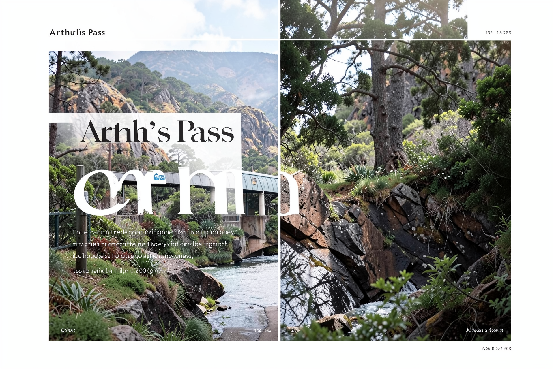
Please CARRY SNOW CHAINS if travelling over Arthur's or Porters Pass this winter/spring!
Avalanche Danger - MODERATE
- Travel Advice: Heightened avalanche conditions on specific terrain features. Evaluate snow & terrain carefully; identify features of concern.
- Avalanche Activity: Small avalanches in specific areas; or large avalanches in isolated areas.
More avalanche assessment detail - Click Here or visit www.avalanche.net.nz